With a length of 361km, the Charente is navigable from Angoulême to Rochefort (170km). Its source is at Chéronnac in the Limousin and it then crosses the départements of Vienne, Charente and Charente-Maritime passing through a multitude of picturesque little villages that enjoy a particularly rich heritage. At the end of its long journey, the Charente drains into the Atlantic, between Port des Barques on the south bank and Fouras on the north, more or less opposite Fort Boyard, between the île Madame and the île d’Aix.
Navigation on the Charente throughout history
A major means of communication (the oldest ports date from Gallo-Roman times), the Charente became the chief commercial route between the Atlantic coast and its hinterland as early as the Middle Ages. The heavy gabarres, flat-bottomed sailing boats for the transport of goods, carried stone from the quarry at Crazannes, canons from Ruelle-sur-Touvre and eaux de vie from Cognac towards the ocean and returned with salt from the île de Ré, amongst other goods.
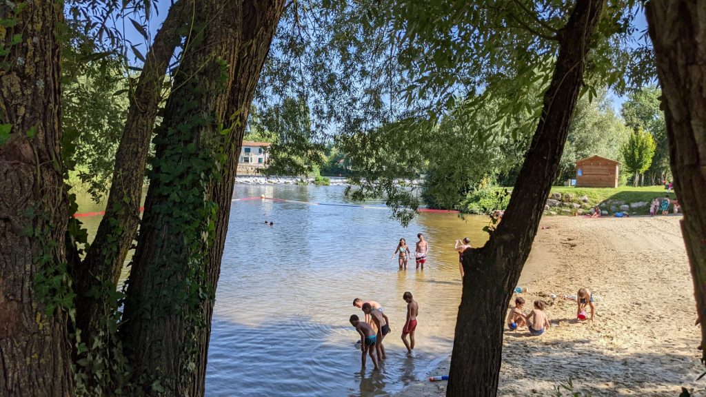
Shall we have a swim?
Meet at the Bain des Dames beach in Châteauneuf-sur-Charente for a dip during those hot summer days!
Riverside residents
The Charente is still rather unspoilt and it’s not unusual to spot these inhabitants during a calm spring morning: kingfishers, herons and swans love this as do the damselflies that flit from water iris to nenuphars.